
Annonse
Underground detectives map secrets in stone
Scientists who map Norway from its very foundations, can tell us where to find the next source of commercial artesian water or where tunnels are likely to collapse.
Denne artikkelen er over ti år gammel og kan inneholde utdatert informasjon.
Geological mapping is often pure basic research. Sometimes we just want to know what is underneath our feet. Is it sand or gravel; is it quartz-rich bedrock or something else entirely?
But sometimes the mapping reveals something exceptionally useful to science and society.
In recent years scientists at Geological Survey of Norway (NGU) have made and digitalised scores of maps that show everything from geohazards such as slide areas, to weak, weathered rock structures that can be hidden beneath layers of stronger stone.
A new digital map of sites where engineers have to be extra careful with tunnel construction can prevent economic and environmental nightmares, such as Oslo experienced in 1997 when leaks began to develop in “Romeriksporten,” a 13.8 km long railroad tunnel that had been built to serve the then-newly constructed Gardermoen airport. Mapping of the country’s geological and geographical features can even yield information about ways in which the first Norwegians hunted reindeer at the end of the Ice Age.
Preventing collapses
Annonse
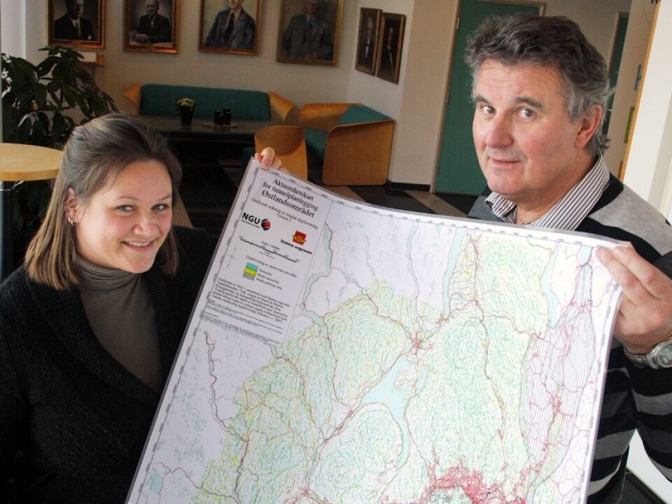
“This can save society billions,” says Jan Steinar Rønning. The map of eastern Norway can help warn planners away from unsafe areas for tunnels.
Tunnels are best built in solid rock, not bedrock that is crumbly or shot full of fractures.
Even though it is "bedrock," the rock beneath our feet isn’t necessarily solid and hard. In some places chemical and mechanical weathering has had its way with surface cracks and faults millions of years ago.
Leftover pockets of loose rock, gravel and sand can be hidden below solid rock.
These deep weathering zones can come as a surprise to engineers when tunnel workers suddenly drill into loose gravel or weak, weathered rock.
The problem is important in Norway, where tunnels sometimes seem to outnumber open roads. A slide in the Hanekleiv Tunnel in Vestfold County in 2006 closed down part of the country's major E18 motorway for more than six months.
Weak sections of rock in the Romeriksporten Tunnel caused groundwater leaks that subsequently drained ponds in the woods east of Oslo, leaving them looking like filthy bathtubs after someone pulled the plug. The construction of the high-speed railway line that had to pass through the tunnel to Gardermoen Airport was delayed by months. The problem was made even worse after toxic substances used in initial attempts to stop the leaks made their way into the Alna River, which flows into the Oslo Fjord.
“It cost 13.5 million euros to fix the Hanekleiv Tunnel. The Romeriksporten Tunnel was delayed and had to be re-dug at a cost of 94.5 million euros,” says Rønning.
“If this map had existed when these tunnels were planned we could have avoided those costs.”
Magnetic fields and topography reveal weak rock
The tunnel map of eastern Norway combines topography – the physical features of the land – with measurements of magnetic fields.
An area that has been heavily weathered will often contain less of the iron mineral magnetite, which amplifies the Earth’s natural magnetic field. Places with lots of weathering are also more easily eroded by water, glacial activity and other natural processes.
So Ganerød and Rønning have found that low spots in the terrain that have weak magnetic fields are possible areas where deep weathering has taken place. These could be risky areas for tunnelling.
They have marked them on maps with blue and yellow spots.
Annonse
Better budgets and more realistic time plans
Ganerød and Rønning want road engineers to use their map to check out planned routes and give more thought to prospective trouble spots.
“We’re not saying that tunnels can’t be built in these areas, but authorities should plan for additional time and expenses on such segments, and ensure proper injection of cement and other methods for securing tunnel structures,” says Ganerød.
“The Public Roads Administration is not making use of the map mandatory but they are strongly encouraging it.”
Their map currently covers only the eastern part of the country, or about 20 percent of Norway’s landmass. Work is underway elsewhere but the rest of the country will have to wait for years to get equivalent maps.
The map is freely accessible on NGU’s website, where engineers, students and anyone interested in geology can check out conditions of the rock below their feet.
Bottled water
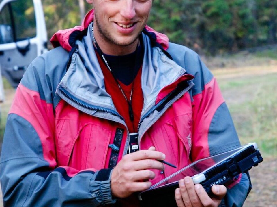
Ola Fredin is gathering data for another map with commercial value. He has been travelling around Norway in the summer with a laptop and some basic measuring equipment to map the country’s surface deposits of soil, gravel and rocks.
“We’re focusing on areas where we have had had previous data, but the data are insufficient. For instance we’ve been making assessments in Vest-Agder County, which was nearly uncharted territory,” says Fredin.
“The mapped areas from the 1950s and ‘60s aren’t mapped well enough. All we have are some aerial photos with lousy resolution. And our needs are changing – areas are under more pressure for development. That requires more detailed maps.”
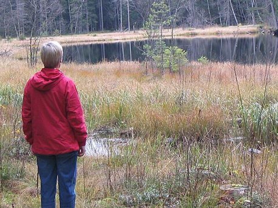
When experts on sedimentary deposits mapped parts of western Norway a few years ago they found a big area with coarse sand and gravel atop mountain rock. This water-bearing layer, or aquifer, was formed several millennia ago. Rainwater seeps very slowly through the sand and gravel deposits on its way to the Eira River.
This slow filtration makes the water extra fine and potable, and in 2010 the company Eirawater started selling the mineral water EIRA.
Rock dating indicates hunting methods
Other researchers have also made use of Fredin’s data. Archaeologists have used his maps to determine where the coast was toward the end of the last Ice Age.
The oldest hunter-gatherer settlements are generally found on what used to be coastal shores.
Fredin says that researchers in the Sunnmøre region of mid-Norway have found remnants of ancient hunting and trapping cultures, with stone walls that run along the hills. These would funnel reindeer into traps and were most likely built soon after the ice melted about 10,000 years ago.
-------------------
Read the Norwegian version of this article at forskning.no
Translated by: Glenn Ostling


