Annonse
Egocentric mapping collaboration
Internet, GPS and maps on cell phones make it easy for wheelchair users to share information about the best routes from A to B, but users might have a tendency to keep the information to themselves.
Denne artikkelen er over ti år gammel og kan inneholde utdatert informasjon.
A study of how wheelchair users could share information regarding the best routes indicated that many are primarily concerned about getting there themselves.
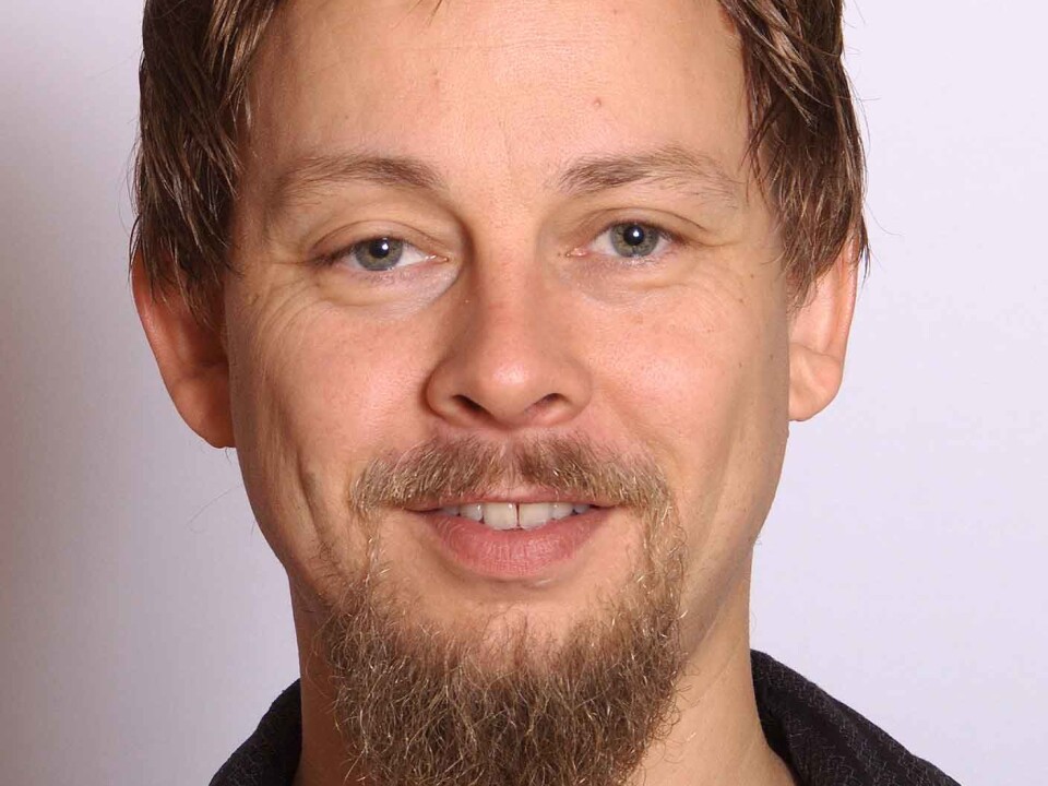
Harald Holone, an associate professor at the Østfold University College, has researched how persons with minimal IT competence could cooperate in turning a simple and superficial service into one that was sophisticated and comprehensive, thus creating something beneficial to a wider public.
In an experiment for his doctorate degree, Holone drew a digital map of the interior floor space of the Østfold University College and installed it as an application for a number of smartphones.
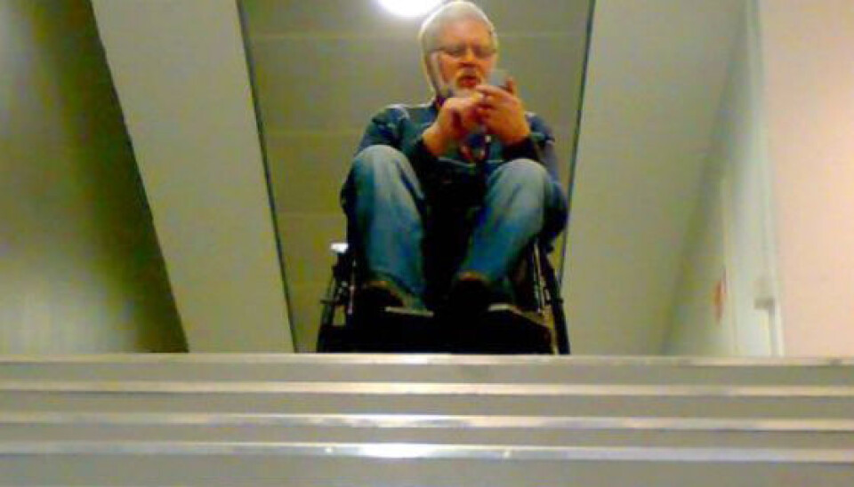
Nine persons were each given a phone and asked to use a wheelchair to simulate how the map app could help wheelchair users navigate.
User-made map
Annonse
Each time the respondees were ready to wheel themselves from A to B the mobile app suggested a route it considered best, not unlike the way a GPS system functions in a car.
The initial suggestions were poor because of obvious deficiencies in the map.
“We had removed all information about accessibility from the map, including stairs, lifts and doors,” says Holone.
Such information was intentionally excluded because the experiment was about getting users to upgrade it.
“Instead of just letting the users draw advantage of pre-programmed information about accessibility, they were supposed to help create this information. They could do this using the app we had made.”
Wheelchair users had the opportunity of giving the app feedback as they tried to make their way. They could evaluate whether parts of a route were good, manageable or hopeless.
The feedback was stored on a server which updated the service to all the users, and the GPS-instructions became smarter each time users added information.
“Information about wheelchair accessibility is usually compiled by an organisation. Somebody has to go around measuring heights and widths of door frames and ramps and the like, and this has to be run through a system that accepts and confirms the info before it finally reaches the users.”
Holone explains that such a system provides quality assurance of the information but it often takes a long time before it’s accessible to users. It also requires enormous resources if the info needs to be updated regularly.
The idea was to see how things would go when the users do the job themselves.
Me, myself and I
Some say too many chefs spoil the broth, but others think many heads are better than one. Holones says both are right.
He discovered that the users were mainly concerned about themselves. They forgot about or disregarded the opportunity to save relevant information in the map, which could help others find the better routes.
“No matter what we did to motivate cooperation, what was foremost for the users was getting where they themselves wanted to go,” says Holone.
Nevertheless, the service was gradually improved as more and more utilised it. When a wheelchair user followed the GPS advice and ended up at a staircase or some other obstacle, the user had to ask the service for another route. In this manner the dead-end was registered for all users.
Annonse
Holone’s research shows that it’s easy to utilise such technology. Many put themselves first, but as the service is used by more and more persons it becomes richer and better detailed, despite a lack of solidarity. The technology involved could be a boon to many others besides wheelchair users.
“This concept could be put to completely different uses. It might be a way of sharing good information about hiking routes in the woods, designating where there are good views, good collective traffic solutions, or whatnot.”
The source code for the technology used by Holone is accessible to all, so anyone can develop similar services based on the same principles.
Reference:
Harald Holone, Transient Cooperation in Mobile Information Systems; Accessibility mapping by sharing traces of activity, doctoral thesis, University of Oslo, 2011.
---------------------------------------------------------------------------
Read the article in Norwegian at forskning.no
Translated by: Glenn Ostling