Annonse
Norwegian satellite gets its orbital twin
AISSat-2 is a newcomer in space that will provide even better surveillance of maritime traffic in the High North.
Denne artikkelen er over ti år gammel og kan inneholde utdatert informasjon.
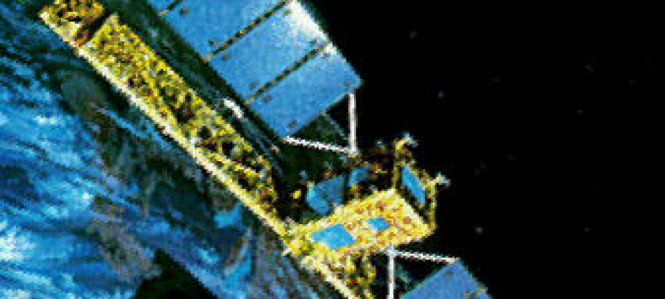
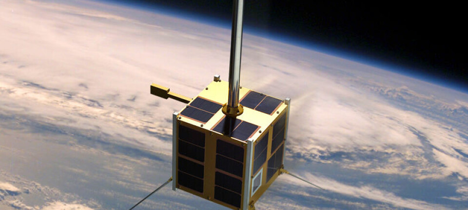
The satellite was launched from Russia’s Baikonu Cosmodrome on Tuesday, 8 July. A tiny cube filled with electronics was lifted into orbit by the Russian work horse, the Soyuz Fregat-M.
The little box is called AISSat-2, the second of its type with an Automatic identification System (AIS). It picks up radio signals from ships in the Arctic Oceans and is efficient about halfway down the Norwegian coast to Trøndelag County, ensuring that ships are safe and navigating legally.
The Russian rocket engines roared and shook, but the AISSat-2 was built to tackle the stress. The Soyuz-Fregat is a trustworthy old steed, a veteran of plenty of trips up to the International Space Station.
Ferry trip with two stops
The first stop was an orbit 800 kilometres up. This is where the biggest passenger was getting off – the Russian weather satellite Meteor-M2.
Relieved of that nearly three-tonne burden, the Soyuz-Fregat fired up its last stage to slow down for a lower orbit. This was the where the Norwegian AISSat-2 had to be released.
But it wasn’t alone. A small armada of tiny satellites were released and spread out across space. One was from Estonia, one from the USA, a third from the UK and several were from Russia.
Annonse
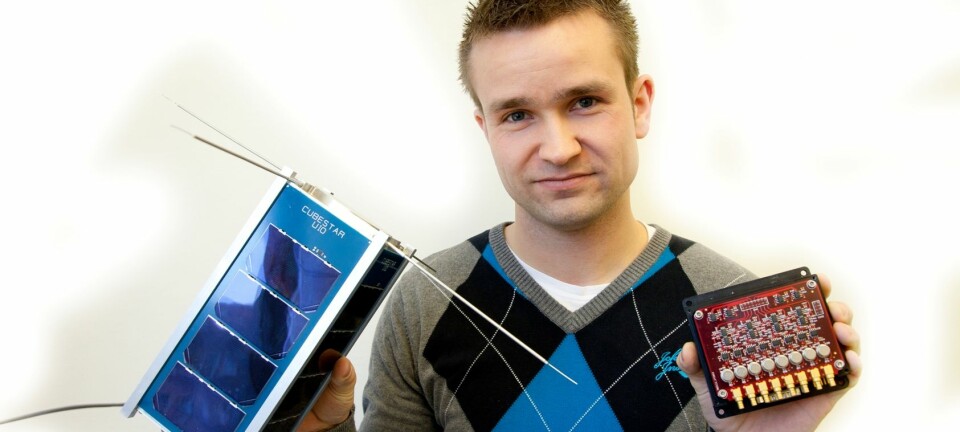
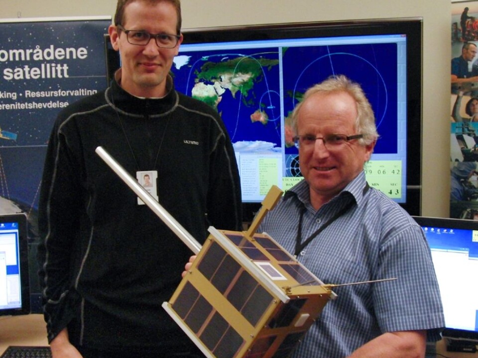
“There is no danger of them bumping into one another,” assures Øystein Helleren. He is a senior researcher at the Norwegian Defence Research Establishment and helped develop AISSat-2.
“There orbits will glide further apart as time passes,” he explains.
Twins in Space
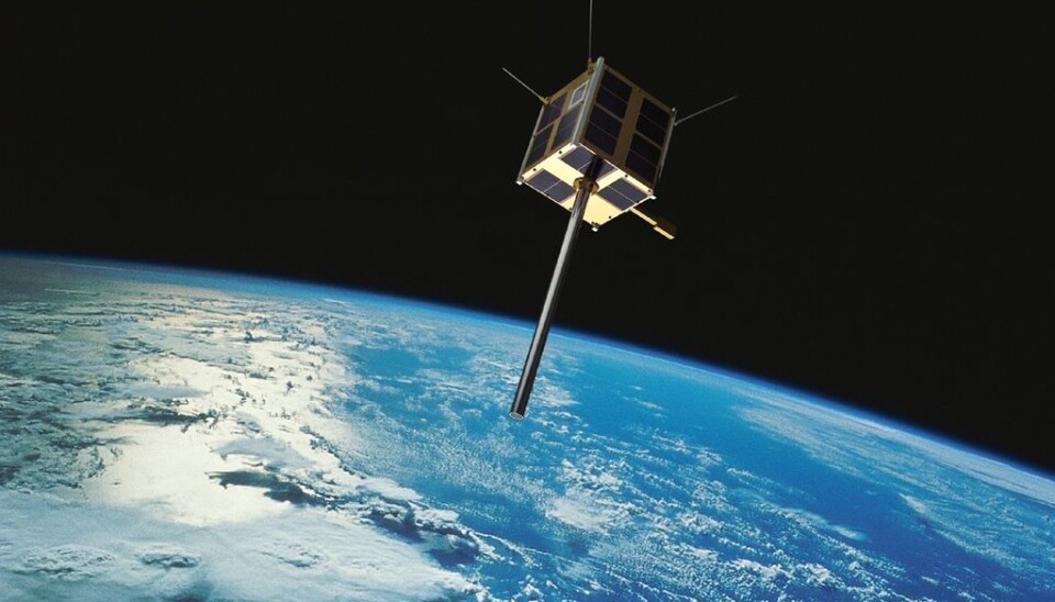
AISSat-2 has a twin in space, launched by an Indian rocket in 2010, and naturally named AISSat-1.
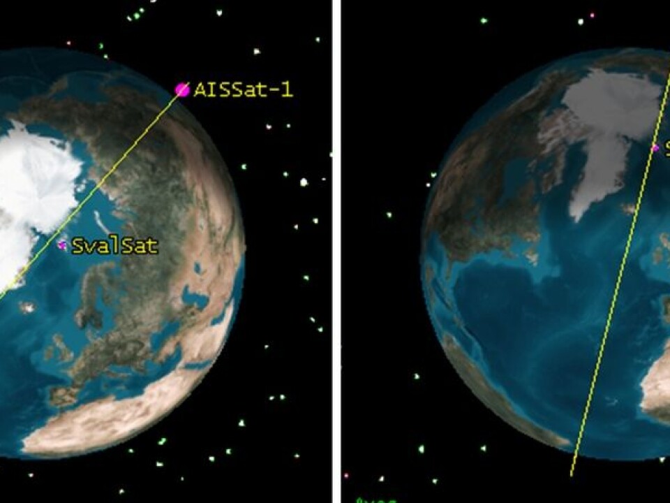
These two twins will not collide. Their orbits are quite similar but not indistinguishable.
“Sometimes they are quite close to each other. Other times they are above opposites sides of the planet,” says Chief Researcher Richard Olsen. He led the development of both satellites at the Norwegian Defence Research Establishment.
Otherwise these twins are identical and do the same job. Both orbit the Earth from the North Pole to the South Pole and monitor ship traffic. So why have two?
“Reliability,” answers Helleren. “In part because we can compare the signals from the two satellites and thus weed out errors. It is also ensures that the monitoring of ocean traffic does not break down if one satellite should fail.”
A day in the life of AISSat
This monitoring capability is vital for Norway. An increasing number of ships traffic the northern regions, prospecting for oil and gas in the Barents Sea, fishing, or increasingly because global warming is opening new routes which used to be blocked by thick ice.
Consider a typical example of the AISSat twins doing their jobs. A 300-tonne ship is involved in a mishap in the Barents Sea. Oil is leaking but the unfortunate skipper, knowing heavy fines can result, decides to keep his mouth shut.
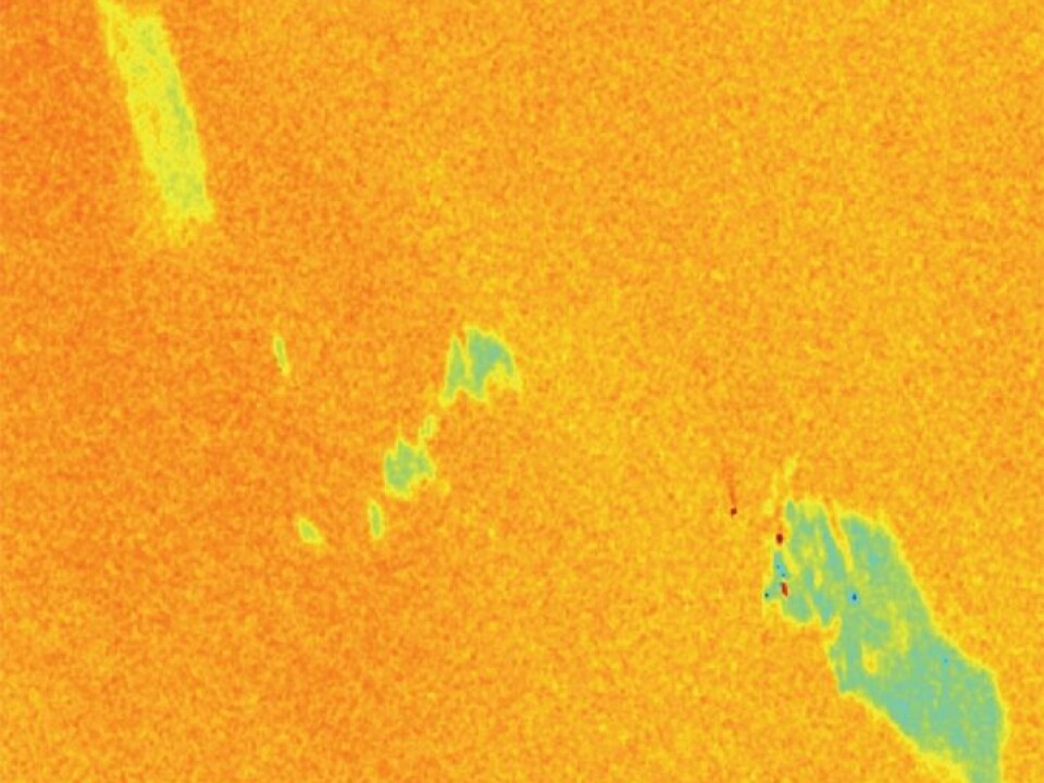
The spill is detected by another satellite, for instance Canada’s Radarsat-2. It transmits radar signals to the ocean surface.
Most have heard the expression “pour oil on troubled waters”. A radar echo deviates from normal where oil slicks cushion waves.
But Radarsat-2 only sees the blanket of oil. Which ship is the culprit?
“Here I am”
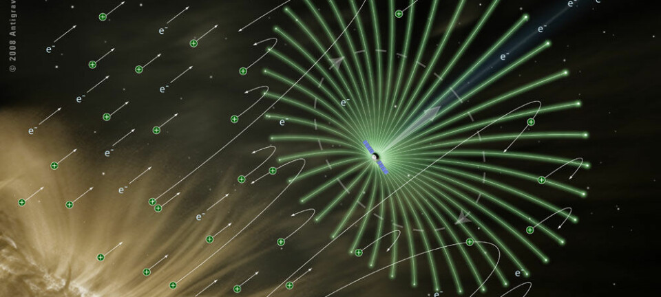
This is where AISSat steps up to the plate. Its antenna listens for radio signals from ships in the vicinity of the spill.
Such signals are emitted at regular intervals. The digital codes in the signals can be interpreted more or less as follows: “I am MS Vandalia, position 75 degrees, 34 minutes, 12 seconds north, 2 hours 31 minutes 46 seconds west, course 123 degrees, speed 26 knots”.
Annonse
This corresponds to the position as the oil slick. The perpetrator has been identified. But tracking down miscreants is not always that easy.
Digital agenda
The Automatic Identification System, which gives the AIS satellites their names, was not initially developed for Earth to space communication. It was invented so that ships in the same waters would be aware of one another.
The idea was to prevent collisions. AIS was created as an extra safety measure complementing traditional radar. Local coastal ship traffic control centres could also receive the AIS signals.
AIS has a feature that keeps the digital signals of ships from drowning one another out when broadcasting simultaneously. It’s like the speakers’ list at a meeting. The larger ships reserve time for their digital messages, designated by what is called their Class A units.
Smaller boats are able to get a word in edgewise between the big vessels, using their simpler Class B units.
Drowning each other out
This works well, seen from the surface of the sea with the curvature of the Earth limiting long-range broadcasts. But it only works locally among ships within radio range of one another.
AISSat can survey and receive signals from a much larger area – as mentioned, circles with a 3,000 km radius. It picks up a number of small local digital conversation clubs simultaneously. These do not know of one another so they honk cacophonously like a gaggle of geese.
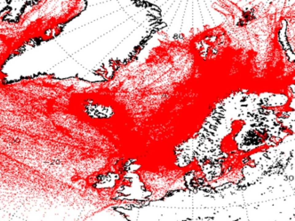
“This means that in many cases AISSat cannot differentiate between vessels if they are broadcasting simultaneously where ship traffic is congested, for instance further south in Europe,” explains Olsen, showing us a map.
“The white areas east of Great Britain and north of Germany and in the Balkans do not necessarily mean that AISSat sees empty ocean. On the contrary, the receiver is overloaded with information,” says Olsen.
Best in the north
This is not much of a predicament. AISSat does not primarily monitor Central Europe or other spots far from the Arctic. That said, AISSat-1 has actually warned about a hijacked cargo vessel in the Bay of Aden and revealed illegal fishing activities in South African and Nigerian waters.
However, AISSat does its job best in the northern regions. This is not just because of the sparser traffic.
A main reason is that AISSat-1 and 2 pass over the Polar Regions on every orbit, which means 15 times a day.
The Earth is rotating on its axis beneath the satellites. As they cross over the equatorial regions they soar above new territory with each orbit. This means that updates of individual areas are less frequent nearer the equator.
Secondly, the tracking station Svalsat is on Norway’s Svalbard Archipelago, at the high latitude of 78° N. Signals received from ships in the north can be transmitted directly down to Earth with no delay. Signals from other parts of the planet have to be stored in the satellite until it returns over Svalbard.
When AIS is unplugged
The vast majority of ships on the seas are run by law-abiding crews who are not up to any hanky-panky.
But what about environmental criminals, or trawlers that are engaged in pirate fishing? Can they throw a spanner in the works, sabotaging the system?
“Boats can for example turn off their GPS receiver, which generates information about its position and speed,” admits Olsen.
“But to tackle such cases we have developed other methods for determining their position,” he says, without divulging any details.
“In some cases the AIS is also turned off for a good reason. Norwegian ships passing by the coast of Somalia do this to avert being detected by pirates. Pirates also have AIS receivers,” says Olsen.
Military craft are also exempt from any obligation to send AIS signals, for obvious reasons. But the Norwegian Defence Research Establishment is now developing new technologies, including satellite cameras, which can improve their capacity for supervising the activities of all ships in northern waters.
------------
Read the Norwegian version of this article at forskning.no
Translated by: Glenn Ostling