Annonse

Better monitoring of tropical forests
Aerial and satellite images that are tested on forests in Norway provide better monitoring of both Norwegian and tropical forests.
Denne artikkelen er over ti år gammel og kan inneholde utdatert informasjon.
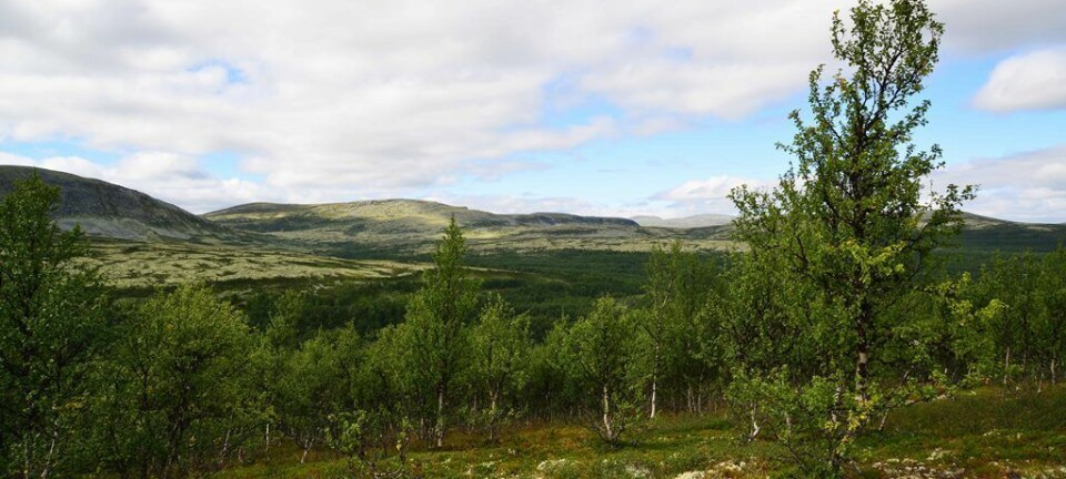
Norwegian researchers are testing out different ways to effectively size up the state of forest stands. Thorough measurements on the ground of tree height and girth are combined with aerial and satellite imagery, to provide improved methods for measuring the forest from above.
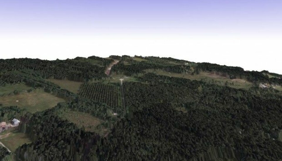
Johannes Rahlf, a PhD student at the Norwegian Forest and Landscape Institute, has been analysing large amounts of data collected in southern Norway from aerial photography and satellites in orbit above the Earth. The result is a three-dimensional (3D) model of the forest. “We’ve had 3D satellite images for over ten years, but only now are they really taking off,” he says.
Improved methods will provide more accurate timber volume estimation in Norway, and the results can also be useful in conservation and control of biodiversity and carbon sequestration in tropical forests.
Remote sensing goals
The aim of the investigation is to compare four different remote sensing methods for measuring the forest from aircraft and satellites. Two of the methods use images taken from satellite and two use photos and measurements taken from aircraft.
Annonse
Two satellites in the TanDEM-X mission that are orbiting close to each other provide images from different angles, resulting in a 3D composite image.
Radar satellites have the advantage of being able to also take pictures through the clouds, useful both in Norway and tropical forests, which tend to often be cloud-covered.
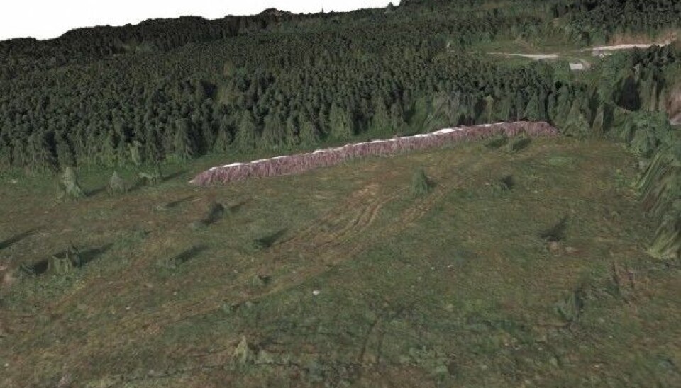
In addition to providing 3D images, airborne laser scanning can also measure the distance to the ground with laser pulses. This technique is already used widely to appraise or detect forest damage.
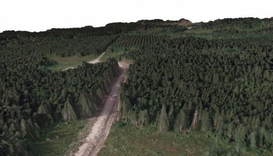
Photogrammetric image matching uses a laser scanner to take multiple overlapping images as the aircraft flies along, creating a detailed model of the ground and objects, such as houses and trees. Vegetation heights and density can then be calculated with the help of special software.
Whereas satellite recordings can cover large areas and may have a resolution of 10 x 10 metres, aerial photogrammetry can take multiple measurements per square meter and provide very detailed information about what's on the ground.
Important to measure changes over time
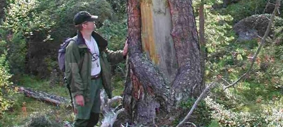
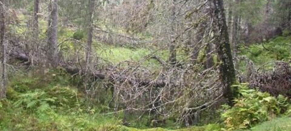
Obtaining the ground truth for an area involves measuring the actual size and density of the trees, and is a prerequisite to comparing the study’s four remote sensing methods. These observations from a sampling site set the standard used to calibrate data from aircraft and satellites, and in turn determine the timber volume, for example.
Every six years, all of Norway is photographed from aircraft in an orbital survey. Rahlf says that this is ideal for monitoring forest height and dynamics, and 3D data can be produced at a reasonable cost with photogrammetric image matching.
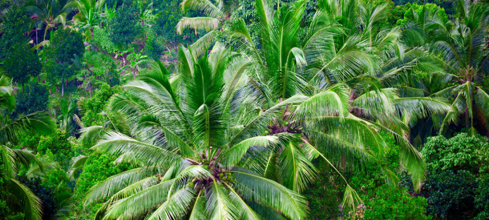
By measuring the amount of timber in tropical forests, three-dimensional satellite images make it possible to monitor biodiversity and illegal logging, as well as to calculate how much carbon is bound up in the forests. Rahlf says that for the protection of rainforests, it is important to measure these changes over time.
All remote sensing methods worked well
It is the first time these aerial and satellite methods of forest assessment have been directly compared with each other. Together with researchers from Norway’s University of Life Sciences (NMBU), Rahlf and his colleagues have been examining their remote sensing data. The results show that the aircraft measurements were the best, but that the satellite images were not far behind.
Laser scanning from airplanes came closest to the ground truth for calculating timber volume. According to Rahlf, the advantage of laser scanning is the high density of data points. The downside is that it quickly becomes expensive when large areas need to be mapped.
He says that as long as scientists have sample ground truth data sets and know the ground elevation, all these data types can accurately measure timber volume. The larger the area to be examined, the smaller the difference is between satellite and aerial images.
------------------------------------------------
Based on an article by Lars Dalen, read the Norwegian version at forskning.no
Scientific links
Annonse


