Annonse
Opinion:
Satellite imaging can provide more climate-friendly actions
OPINION: Climate change affects local areas differently on a global scale. We need to find climate-friendly solutions when dealing with the specific challenges unique for each location. By the the use of satellite imaging we can target and identify the problems more efficiently.

Published
Climate change is already affecting economies, communities and ecosystems across the globe, with significant consequences for both people and the environment.
The EU aims to achieve climate neutrality by 2050 through its Green Deal plan. Until then, however, to ensure the safety of the environment and human infrastructures, such as roads, power lines and settlements along the coast, we must talk about how we make decisions at the local level since climate change does not affect all regions of Europe equally.
Increasing temperatures can cause more evaporation, leading to floods in Germany and water shortages in Italy at the same time. Meanwhile, wildfires can occur in France and Greece due to the same warm climate.
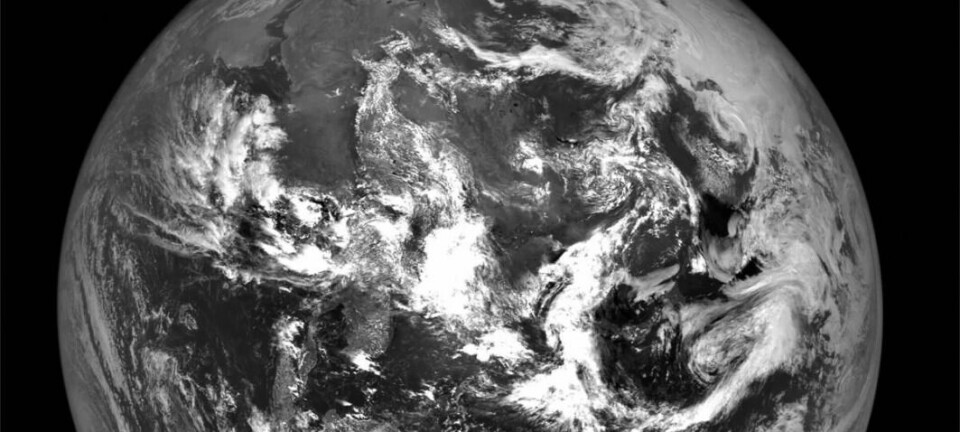
Some satellite images are taken frequently, and some are taken rarely. They can inform us about the spread of drought, leaf area, pollution, and much more.
Because of such differing impacts, it is fundamental that every region prepares specific contingencies based on the local environment's response to rapid changes in the atmosphere. During the past ten thousand years, the climate has remained relatively stable. Many believe this was one of the reasons why human civilisation began.
Future changes in the climate can therefore be a major threat to this stability and have far-reaching consequences, especially in low- and middle-income countries.
Annonse
The difference is in the choices we make today
Decarbonising the atmosphere is our primary goal, but we also need to find creative solutions to the present situation to better adapt to future changes. However, there cannot be one plan for all the EU member states, let alone the 45 nations that inhabit Europe - a continent that stretches over 10 million square kilometres and encompasses a wide variety of climates, ecosystems and landscapes.
That's why policymakers must consider these regional factors when planning and implementing climate change adaptation and mitigation strategies. Only then can local governments and communities make the most effective investments and solutions. And, of course, to make these changes, government officials must also maintain societal consensus. This means that such measures should always take economic recovery into account, primarily to avoid leaving anyone behind.
In essence, boosting social participation and creating regional regulatory strategies are crucial to coping with climate change. But how do you make these choices? What's the most effective tool governments and local communities can use to keep track of the challenges we face?
A solution from the sky
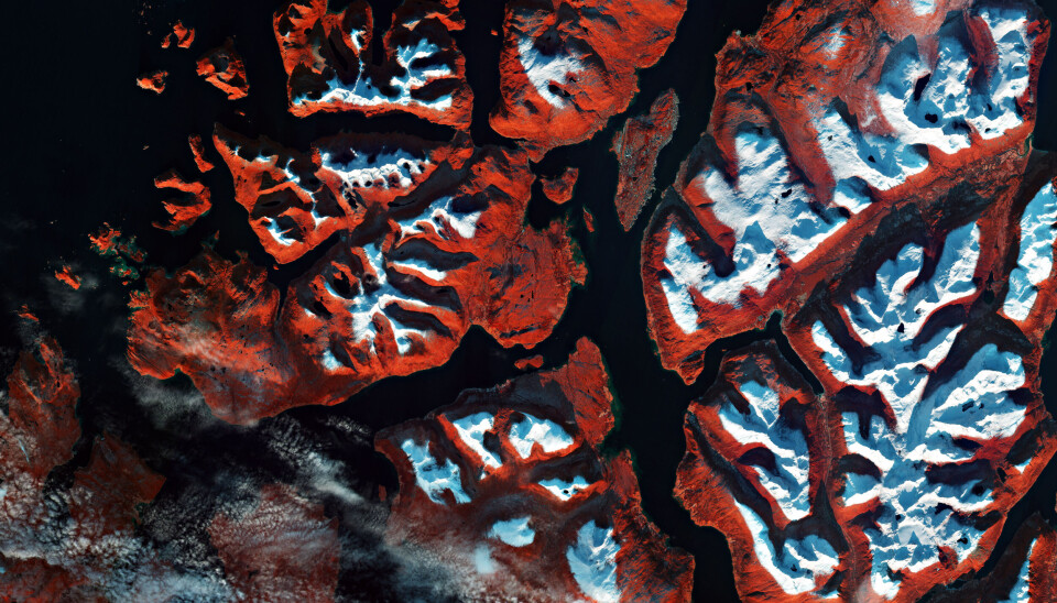
This is where remote sensing comes into the picture. This term describes the process of acquiring information about phenomena without making physical contact with them. Simply put, keeping the environment under constant monitoring from afar using cutting-edge technology. And what better way to watch over our planet than from the sky?
A large portion of the European Space Agency's budget (22.2 per cent) already goes toward its Earth observation programme, making ESA's satellite fleet ideal for data collection and in-depth analysis.
It is already possible to receive an ever-increasing amount of data in different formats and resolutions. Some satellite images are taken frequently, and some are taken rarely. Some measure temperatures and others measure rainfall. They can inform us about the spread of drought, leaf area, pollution, and much more.
Data mining, i.e., the process of extracting patterns from vast data sets, has enormous potential. By combining data from several platforms, we can better understand various phenomena.
For example, researchers may be able to assist government institutions, citizens, and businesses in better preparing for a water crisis similar to that witnessed in Europe this summer.
These developments offer the opportunity for better monitoring and more precise characterisation of critical factors that influence our environments. Among these factors is the evaluation of the use of natural resources. It also includes the potentials and limitations of water quality assessment, atmospheric pollution, and monitoring natural disasters and catastrophic events.
Many European initiatives already take advantage of these opportunities, such as the Green Deal project Impetus, which maps seven European climate regions to find countermeasures to climate change.
Spreading new knowledge
A coherent climate change adaptation framework must integrate remote sensing datasets with other kinds of inputs and tools to accelerate the transition towards a climate-neutral, sustainable economy. However, the raw data remain complicated and abstract for those trying to plan and implement a rational adaptation approach.
Annonse
So, how do we bring novel insights to local authorities and communities in a clear and understandable way? How do you turn them into useful and lasting policies? The solution may lie in creating digital toolkits and human interactions that build bridges between local authorities, civil society and the scientists that collect and interpret the data in the first place.
Open knowledge spaces and competence centres tailored to the needs of different regions, where stakeholders can use local environmental, policy and financial data in an integrated way to design climate adaptation measures.
An architecture of this type can be employed at multiple levels of governance and administration. Using this approach, regional pathways towards adaptation and mitigation can be developed by exploring possible measures while also increasing community involvement and empowerment.
Scientists, policymakers, citizens and other stakeholders all need to work together to make this happen. Still, this may be the only feasible way to help us prepare for climate change's toughest challenges.
FURTHER READING:
Share your science or have an opinion in the Researchers' zone
The ScienceNorway Researchers' zone consists of opinions, blogs and popular science pieces written by researchers and scientists from or based in Norway. Want to contribute? Send us an email!


