Split on a diverging ice floe
The story about 16 Nansen Legacy researchers on a cruise in the Arctic Ocean continues. This time we meet "The Captain" and a troublesome ice floe.
Anyone who believes that the corona pandemic stops at the gangway is wrong. When 16 researchers went on board RV Kronprins Haakon in Longyearbyen on February 9, we had clear rules: No one was going on the bridge until ten days had passed, and we had to clean the cabin ourselves.
Not being allowed to walk on the bridge and talk to the captain can be an issue when we are wondering what is happening, and if we actually have time to stop and add another wave sensor in the sea. Or if the people on the bridge find our running around like headless chickens on deck -chickens with helmets and safety shoes that is - slightly annoying.
This can be frustrating, but much more intrusive was that we were not allowed to go into the ice until we were sure that we had put all variants of SARS-CoV-2 behind us. We needed to be able to go to Tromsø as soon as possible, if someone onboard the boat tested positive. Because of this, we had to spend ten days at the far end of the marginal ice zone, as the ice closest to the open sea is called. But as it happens, this is also where the waves break the ice. So, for the three wave scientists on board, this was not the worst place to hang out.
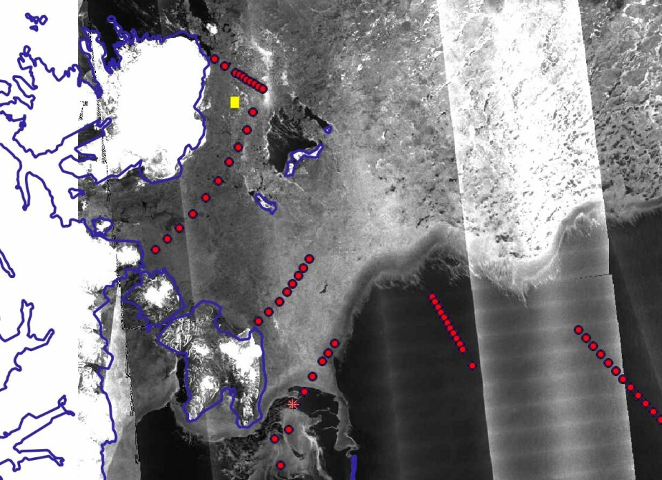
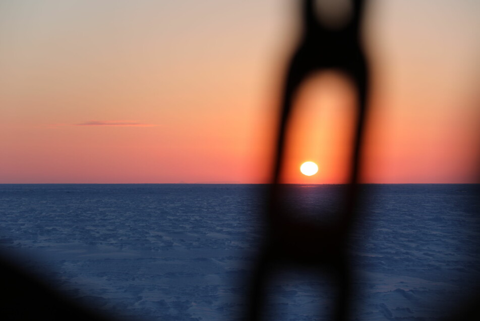
But, after ten days, it was official: We are corona free and can go into the ice. Cruise leader Frank Nilsen set course for "the perfect floe" a little east of Nordaustlandet, just north of Austfonna. We found a magnificent floe of about one square kilometer with even and fine ice, a good half meter thick. Here we anchored the boat in the ice.
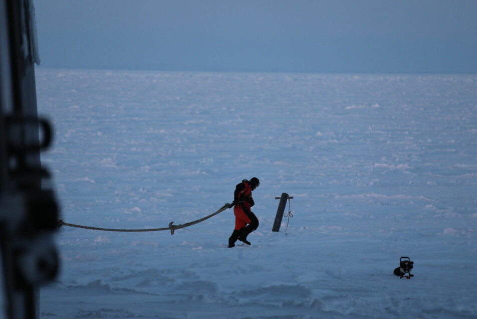
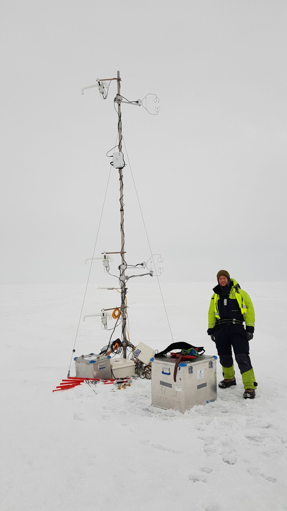
Now everything was to happen at once: tents, buoys, turbulence measurements, underwater vehicles, ice saws, ice drills and meteorological stations. Everything was going out on the ice. Then the ice would be sawn, huge blocks of ice would go up and instruments would go down.
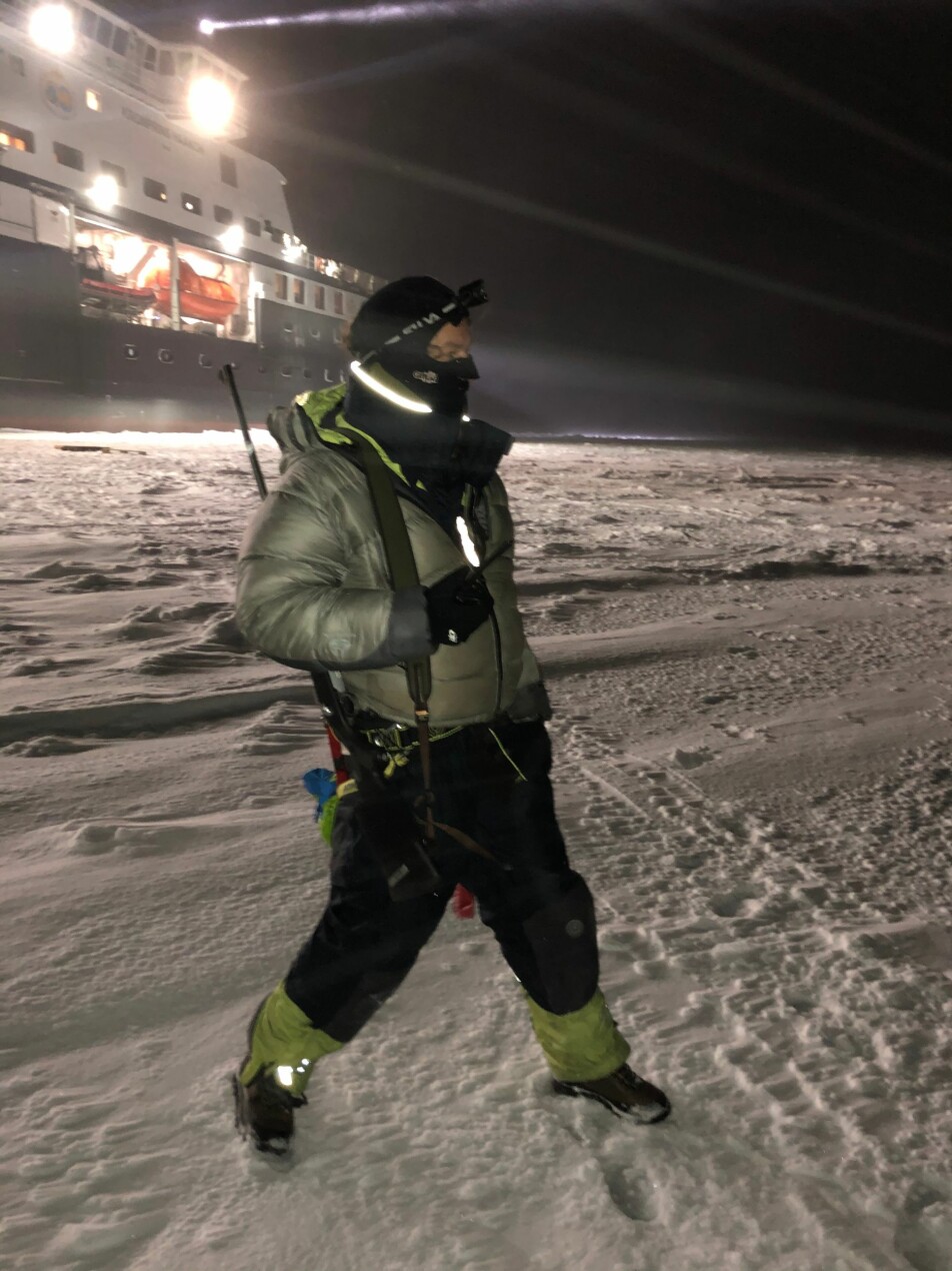
But with so much activity on the ice, it is not so easy to see if we get a visit from the polar bear. Since that is dangerous, six souls stood bear guard and scouted out with binoculars.
There were never any bears, but we got a visit by a fatty with a mustache and big front teeth. For three hours we had a big halrus in front of the bow. He came up for short breathing breaks before disappearing for a quarter of an hour at 170 meters where we assume he feasted on mussels.
The Captain is up for air, before next dive to the depths. (Video: Øyvind Breivik, MET)
There was now full activity on the ice. Ilker Fer's group measured salinity, temperature and turbulence under the sea ice every hour. Why do you do that? Turbulence is mixing - mixing water. If we manage to measure how fast the water mixes, we also understand more of how the Arctic water from the north mixes with the water from the south.
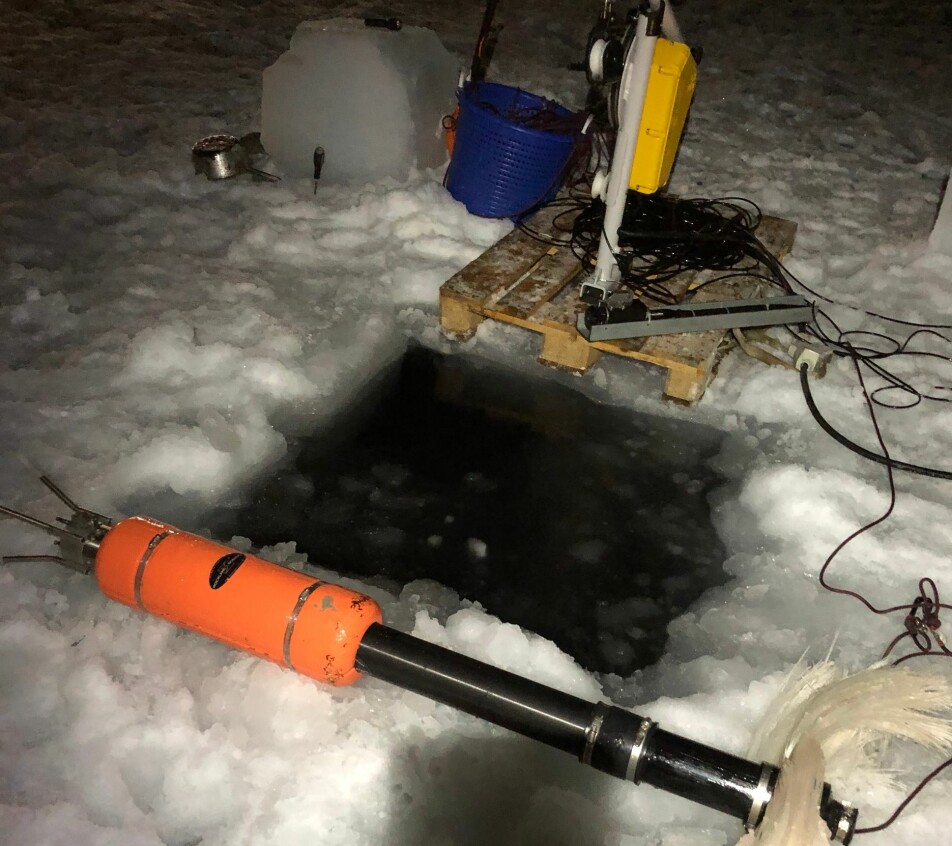
And while some measure the turbulence, others try to see what it actually looks like down there. Tore Mo-Bjørkelund pulled out the "Blueye" - an ROV, or a tethered submarine. With an extra GoPro mounted on the ROV, he was able to film the underside of the ice.
Ice bathing for robots. The ROV «Blueye» is on its way down to film underneath the ice. (Video: Øyvind Breivik, MET)
So, was this the perfect ice sheet? Our peaceful spot in the Arctic? We drifted northeast at a couple of hundred meters per hour across the channel we wanted to measure in, but we were still not completely safe. After a few hours, the large ice sheet began to crack. In the middle of the huge floe, a hundred-meter-long ship is anchored with hooks. But it is not easy to keep the ship still when you have the wind behind you and the ice is drifting away. Slowly the ice began to crack in front of the bow. After a few hours it was clear that we had to take a break and get the ship re-anchored before we ended up in a gymnastic split. But all in all, the ice station was successful.
Then we turn our nose south along Nordaustlandet in order to measure the temperature of the watere where Austfonna reaches into the sea. But there the the sea ice’s tough big brother of had settled down: Small icebergs, the result of ice calving from Austfonna, were lying and splashing in the water. This ice is completely fresh and much harder than sea ice (which is a little salty). It was so bad that we had to steer outside the last station.
Now we are sailing towards the open sea. Along the way, we will add nine more wave measure instruments. Jean Rabault has been up a little longer than he should and must sleep, so now it's Malte Müller and my turn to go out and travel in the basket (see previous blog – legg inn lenkje her). As we approach the open sea, there will be ever higher waves. We have already measured four-meter-high waves in the ice on the instruments we put out eight days ago. We also see clearly how the waves decrease inwards in the ice. For wave research, this cruise is already a success.


