Annonse
Journey across the Polar Front
During the first two days in the Barents Sea, we completed our first crossing of the Polar Front, all the way from the warm, saline Atlantic waters in the south, to the cold and fresher Arctic waters in the north to map the location of the Polar Front.
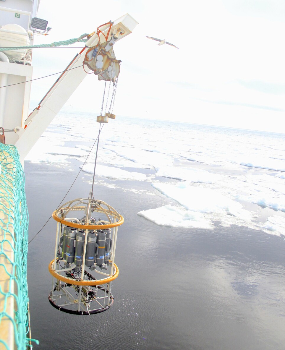
The exact point where these two very different water bodies meet cannot be seen with the naked eye, and therefore we rely on measurements of temperature and salinity to identify their meeting point. Every 25 kilometres along our transect, we stopped the ship, and lowered a Conductivity-Temperature-Depth (CTD) sensor into the water.
As it was lowered down from the ship this instrument measured, among other things, the salinity, temperature, and depth of the water from the surface all the way to the bottom.
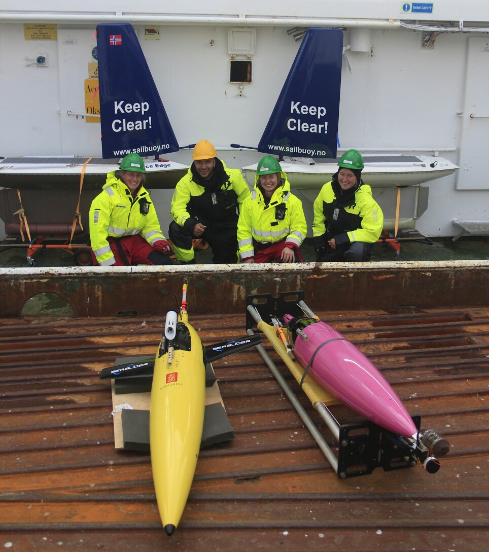
We also deployed instruments into the sea that can move autonomously through the water. One type of these were Seagliders, autonomous platforms that are able to dive down towards the sea bottom and back, collecting data on the fly. These gliders were equipped with a set of different sensors, which measured the physical characteristics of the sea water, just as the CTD.
In addition, the Seagliders measured underwater sound to detect the potential presence of marine mammals and other sources of sound. Each time the Seagliders reached the surface, it transmitted data via satellites. In this way, we could access the measurements in real time. Another type of autonomous vehicles that was deployed was Sailbuoys.
These vehicles use wind energy to sail and solar energy to power the onboard instruments, Acoustic-Doppler-Current-Profiler (ADCP) and echo sounder, that collected data down to 100 meter depth. The data collected by the Sailbuoys were also transmitted via satellites. The deployment of two Seagliders and two Sailbuoys on the cruise was performed under the leadership of Akvaplan-niva and with financial support from Equinor.
Annonse
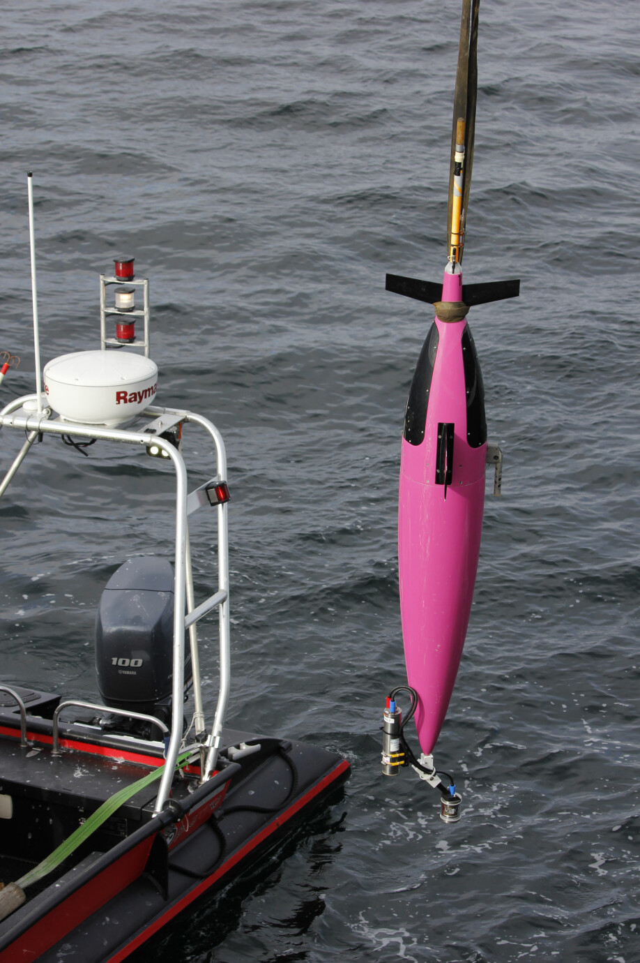
On our first southernmost station, we measured relatively warm (+2˚C) Atlantic water in all depths, and we were therefore sure that we were located south of the Polar Front. A few stations further north, however, the upper part of the ocean started getting colder and fresher. This was an indication that we were approaching the Arctic waters, and possibly reached the Polar Front, but we still needed to compare with more stations to be sure. From the latest sea ice charts, we expected to meet the sea ice edge along our transect, and from the bridge we could see a slight rim of white along the horizon. The Seagliders and the Seabuoys cannot operate in sea ice, and therefore we wanted to deploy them at a far enough distance from the sea ice edge. The deployment went smoothly, and we could wave goodbye to the four autonomous vehicles as we headed towards the sea ice and the next station along our transect.
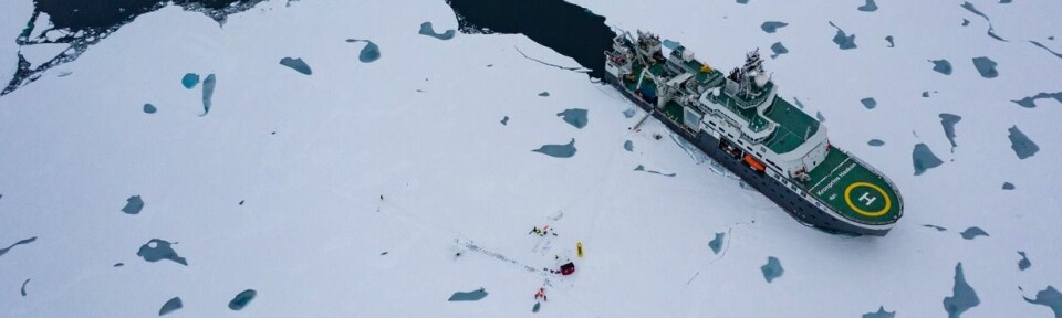
The white rim in the horizon was getting closer and suddenly we were surrounded by small bits of ice and larger ice floes. We could hear the rattling sound of the ship making its way through the ice. The results from the CTD measurements now clearly showed that we were moving into Arctic waters, the temperature and salinity were lower and showed similar values at all depths. The sea ice edge is not necessarily following the Polar Front, it moves further north in the summer and further south in winter following the seasonally varying air temperatures.
However, local and temporary wind conditions can push the sea ice in either direction, which might have happened now with northerly winds pushing the sea ice edge further south. In the evening we enjoyed the stunning view of the sea ice covered ocean, Arctic birds like ivory gulls flying around the ship, and suddenly far in the distance someone spotted a polar bear. Later another polar bear appeared, and we could now clearly observe a mother with a cub wandering from ice floe to ice floe. What a beautiful view and a proper greeting to the Arctic side of the Polar Front. We now had clearly observed, both from our measurements and from our own visual experience, the distinct difference south and north of this barrier. We now looked forward to investigating the biology along the transect closer on our way back south.