Detailed wave warnings on Norwegian coast
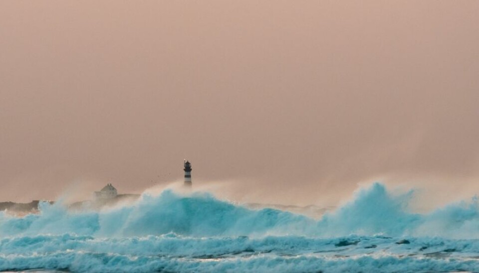
The dramatic wreck of the high-speed catamaran ferry “Sleipner” in 1999 prompted allocations of funds for research on ocean waves along the Norwegian coast. Better wave warnings are available as of this summer.
Denne artikkelen er over ti år gammel og kan inneholde utdatert informasjon.
The high-speed MS Sleipner was en route from Stavanger to Bergen along the Norwegian west coast when it ran aground on an underwater rock north of Haugesund one cold, dark evening in November, 1999.
A strong wind blew from the southwest when the disaster occurred. Sixty-nine passengers and crew were rescued, but 16 died.
Better digitalised sea charts have been made since then. In addition, the Norwegian national assembly resolved to do what it could to prevent accidents with improved wave warnings. Government funding was appropriated for research.
Skippers navigating the coast can now access much better advisories and warnings about wave heights and sea currents in upcoming hours and days than was the case in 1999.
Resolution of 100 metres

“Above all the degree of detail has improved immensely in the warnings we issue now,” says Oceanographer Torleif Lothe at the research foundation Polytec.
“The warnings now have a resolution of 100 metres. This means that information is provided for squares of sea that are 100 metres on each side.”
“The Norwegian coast varies a whole lot topographically under water with all kinds of shallows, reefs and rocks. This topography has a very strong effect on wave fields. That’s why such a detailed system for wave warnings is vital.”
A shallow or sub-surface rock can reduce ocean waves. But it can also act like a lens and intensify them, making them much more perilous. Multitudes of shipwrecks testify to this phenomenon.
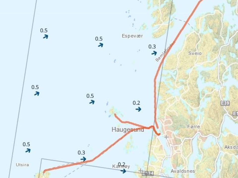
“Skippers intuitively head closer to land when winds pick up at sea. But this is not always so smart,” says Lothe.
“With objective warnings about the waves it will be easier for a helmsman to see that a course should be set further away from land. A good example is when the skipper is rounding the dangerous waters of places like the Stad Peninsula.”
Six parameters
Ocean waves are complex.
The waves roll in from out in the ocean to pound the coast. Winds also generate local waves. The height of a wave is another component.
Another three factors are added to make six parameters for calculating a local wave warning inside 100 metres x 100 metres squares.
The coastal warnings from Polytec are based upon work by the Norwegian Meteorological Institute and the U.S. National Weather Service.
The two weather services issue warnings that are primarily relevant to waves in the open sea.
Polytec takes that data a step further with information about waves all the way into the complex fractal geography of the Norwegian coast.
-------------------------
Read the Norwegian version of this article at forskning.no
Translated by: Glenn Ostling


