Annonse
When Norway was in the Tropics
Norway wouldn’t have become a wealthy oil and gas exporter if the land in the north had not once been far to the south. View the video for a few million years of plate tectonic action.
Denne artikkelen er over ti år gammel og kan inneholde utdatert informasjon.
One of the things shown in this video is how Greenland pulled away from Norway around 54 million years ago. (Excerpt from GPlates/YouTube)
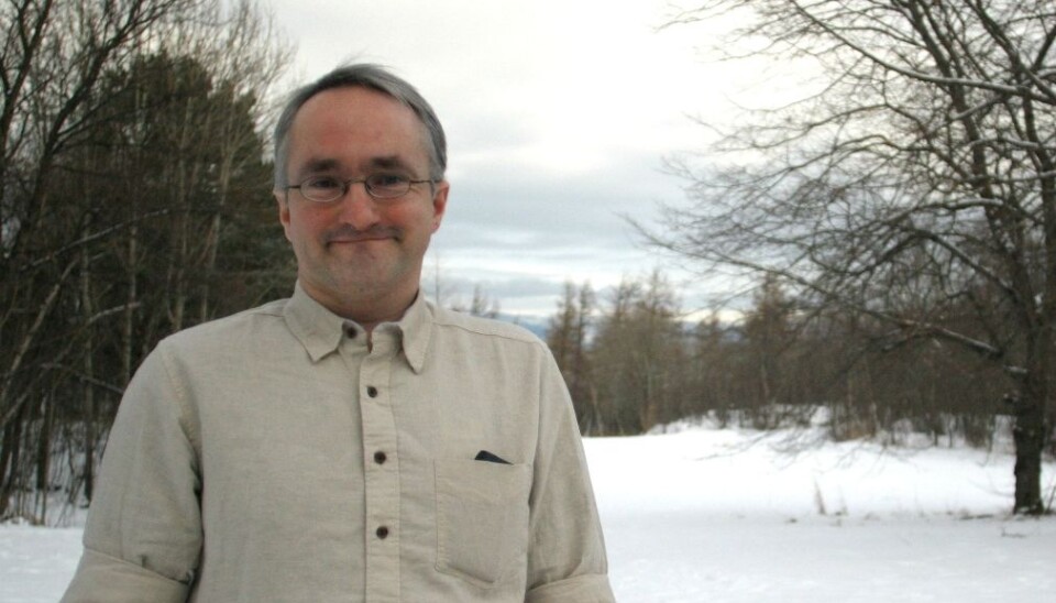
“Here we can see how the world looked hundreds of millions of years ago and how the continents drifted to where they are today,” says Robin Watson, a physicist at the Geological Survey of Norway (NGU) in Trondheim.
The colourful globe and its changing images of where continents used to be is the product of software called GPlates. It was created by a team of scientists and developers, including Watson and others from the University of Oslo (UiO), the California Institute of Technology and the University of Sydney.
GPlates makes it possible to use computer animation to visualize how continents have moved over the surface of the globe over the eons, as shown in the video above.
Watson points at and spins the virtual glove on his computer screen while the continents move about, collide, break apart again and form the world we recognise today.
A hot oil country
Annonse
Watson can use the animation to show how Norway was once nearer to the equator (although this is not shown in the video clip shown here). “Look here, the north was once in the south," he says. "And that’s why we find oil here."
“Norway in the distant past was in a tropical region and that formed the basis for the deposits that turned into oil. The oil deposits were then transported with the continental plates northwards.”
Watson points to the narrow, elongated oil country that dances its way up towards the high north.
GPlates is free and can be used for recreational as well as educational purposes. But it was created as a scientific research tool.
In this series of articles researchers tell about their favourite things, but Watson isn’t the only big fan of GPlates.
Why is there a North Sea?
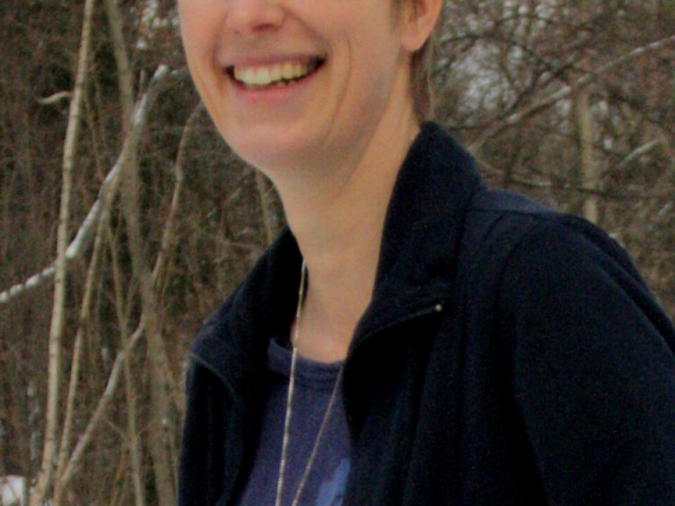
Susanne Buiter uses GPlates in her study of the how the oceans got to be what they are today − another research collaboration between NGU and UiO.
As seen in the video the continental plates drift together and break away from each other several times but they do not always break off exactly where they collided.
Buiter ponders why the plates moved apart between Norway and Greenland, putting the North Atlantic between them, whereas the northern and southern parts of the British Isles stuck together.
“We think there was volcanic activity beneath the intersection between Greenland and Norway millions of years ago which made the Earth’s crust hotter and softer. That’s why it opened up right here,” she says.
Geological dispute
But this is a chicken-and-the-egg debate among geologists.
It’s a point of contention whether this volcanism is the result of, or the cause of, the division of continental plates.
“GPlates helps us visualize when things occur and the relationship between them,” says Buiter.
It remains to be seen whether she can end the debate about the genesis of the North Atlantic with a generally accepted explanation.
The results of the study will be ready sometime this spring.
Further into the core
Annonse
This spring will also see the next version of GPlates.
The first release was launched on the Web in 2007, but it is under constant development and this year it is diving deeper into the depths.
The newest version will have a function that allows users to pierce the crust, allowing viewers to zoom down through the mantle all the way to the Earth’s core.
“We expect to get it up and running sometime in March,” says Watson.
If you feel your nerdish fingers itching to hit the keyboard you’ll be glad to hear that GPlates is written using open source code and you can download it and add your own features, then send your results to the programmers.
The software is available to one and all at gplates.org. However, because it has primarily been created as a scientific tool, the developers haven’t focused on making the download and programming features all that easy for everyone.
But it isn’t all that complicated either. Information about how to use it can be found at www.gplates.org.
-------------------------------
Read the Norwegian version of this article at forskning.no
Translated by: Glenn Ostling


