Scanning the forest for birds
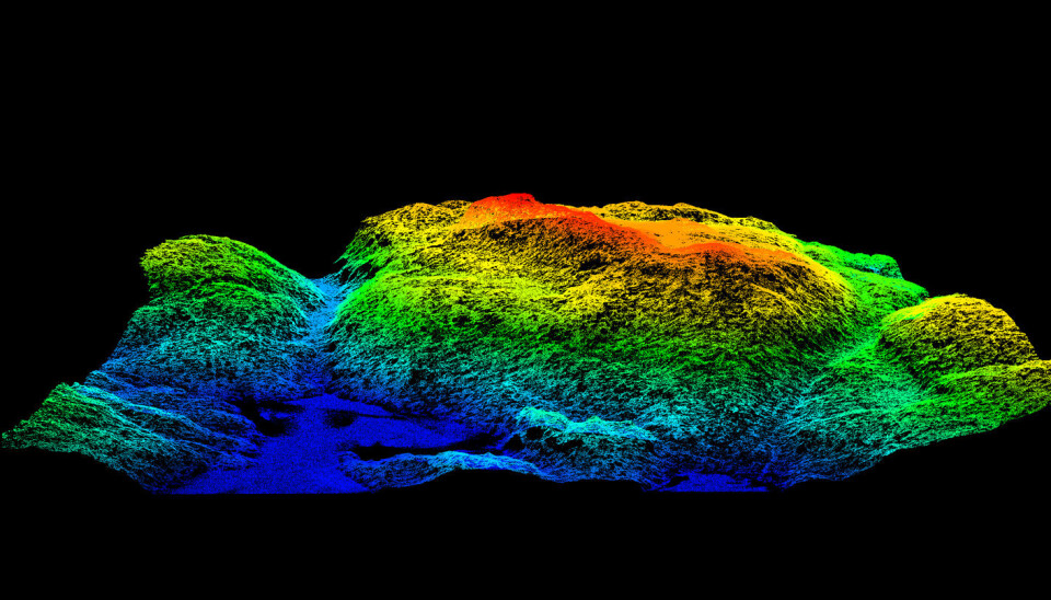
The data were intended to help foresters appraise timber. But laser scanning from an airplane makes it possible to predict where specific bird species can be found.
Denne artikkelen er over ti år gammel og kan inneholde utdatert informasjon.
Laser scanning from an airplane is used commercially to assess the value of timber in different sections of forest. John Wirkola Dirksen used the same data to map swamp forest in Oslo’s Østmarka nature reserve.
But he also found he could use the data to predict which parts of forest offer the most tempting habitats for several species of birds.
“Laser scanning is accepted in Norway as a method for assessing the value of timber in a forest. My project involved investigating whether the information could be used in ecological studies – sort of a recycling of the data,” explains Dirksen.
He got his doctorate just before Christmas at the Norwegian University of Life Sciences (NMBU) at Ås, a small town southeast of Oslo.
Seeing the forest and the trees
![The chaffinch [Fringilla coelebs] is one of the birds that can be predictably located with the aid of airborne scanner data. (Photo: Colourbox)](https://image.sciencenorway.no/1395562.webp?imageId=1395562&width=960&height=720&format=jpg)
Dirksen scanned the Østmarka nature reserve, which are woodlands east of Oslo.
“A number of laser scans were taken. But the information you get from a common forest assessment can be used to find areas that are valuable for their biological diversity,” he says.
He concentrated on boreal swamp forest. This is a coniferous forest which grows in peat, with the water table just below the surface.
“We know that swamp forests support rich biological diversity. So it was intriguing to pick this type of environment to test whether laser scanning could be used,” says Dirksen.
Airborne laser scanning had not been put to this kind of use before in Norway.
In commercially productive woodlands the scanning reveals great variations in the age and height of trees. Trees don't vary as much in swamp forests.
“The scanning showed that trees are three metres shorter on average in a swamp forest. We figured that the forest growth is a little stunted there and we managed to read that from the scanner data,” explains Dirksen.
The scans show vegetation, but everything that grows above the ground can be filtered away to yield a very accurate topographical map.
Six plus two bird species
In addition to studying the swamp forest itself, Dirksen used the scanner data to pick out likely habitats of various species of birds.
“Actually we wanted to do a study with hazel grouse [Bonas bonasia] to see which types of swamp forest it prefers. But few of these grouse were around this year so we figured it wasn't a good idea to bet on them,” he said.
He collaborated with an ornithologist who hiked around in the area and listened for bird songs, recording their presence at over 150 locations.
“We decided on the eight most common birds. We looked for information on where they are found in the area: Are they on tall trees? Trees with dense crowns? Are there lots of deciduous trees at the site? Then we tried to make a model and explain on the basis of the ecology why the birds had been detected and recorded at these spots,” he said.
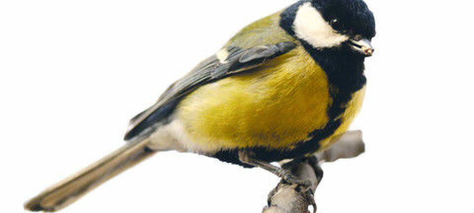
The result was a very accurate overview of wrens [Troglodytes troglodytes], and fully usable models for willow warblers [Philloscopulus trochilus], goldcrest [Regulus regulus], chaffinch [Fringilla coelebs], European robin [Erithicas rubecula] and tree pippit [Anthus trivialis]. They had hopes of creating a model for locating two other common birds in the woods around Oslo: the spruce siskin [Carduelis spinus] and the great tit [Parus major]. But there they had no success.
-----------------
Read the Norwegian version of this article at forskning.no
Translated by: Glenn Ostling


